Just weeks after Hurricane Helene left Florida in ruins, the state faces another threat with Hurricane Milton rapidly approaching. Officials are urging residents to prepare as the storm intensifies. A recent forecast simulation has stunned many, showing the storm’s potentially catastrophic impact on Florida’s west coast.

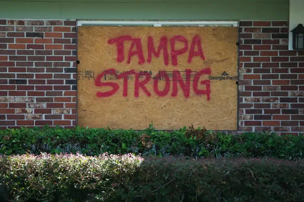
In Tampa, windows have been boarded up, with warnings scrawled across them, as the city braces for Hurricane Milton’s landfall, expected on October 8, 2024. This storm has escalated to a Category 5, gaining strength as it nears the coast. The Gulf Coast, still grappling with the aftermath of Hurricane Helene, is now facing severe risks, with evacuation orders and preparations for power outages already underway. Officials have predicted the state’s largest evacuation in seven years.
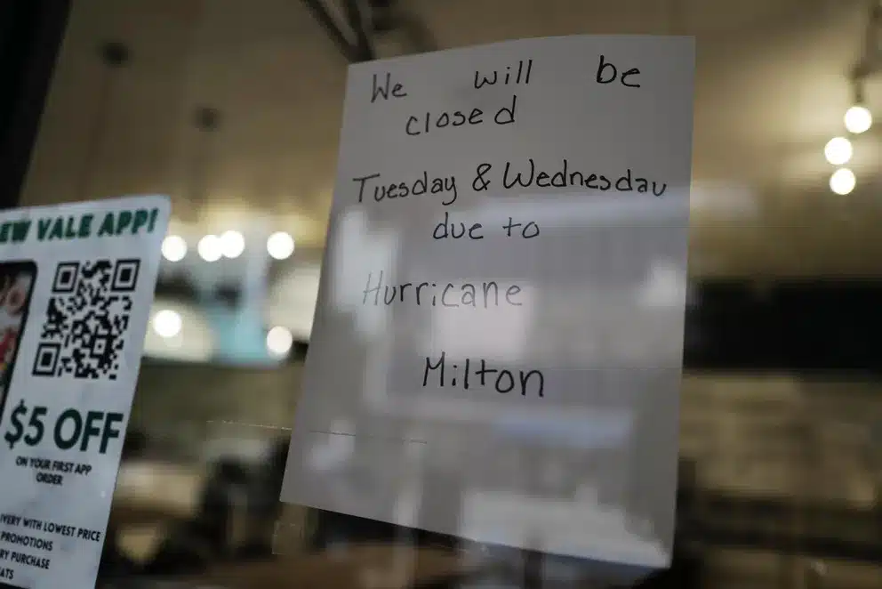
Forecasters warn of water levels rising up to 15 feet, especially in areas with onshore winds. The FOX Forecast Center notes that the storm surge could be record-breaking, possibly the worst Tampa Bay has seen in over a century. In anticipation, stores in Tampa and other coastal areas have closed, with signs alerting residents of the impending danger.

As of October 9, Hurricane Milton, advancing across the Gulf of Mexico, is targeting Florida’s central west coast. The highways are clogged as thousands evacuate, desperate to escape the storm’s path. Landfall is predicted late Wednesday or early Thursday, October 10, near St. Petersburg and Sarasota. Tampa’s Mayor, Jane Castor, has publicly urged residents to complete their preparations, emphasizing that those in evacuation zones A and B must leave immediately. When asked about those considering staying behind, she warned, “If you choose to stay in one of those evacuation areas, you’re going to die.”

Meteorologists predict Hurricane Milton will bring heavy rain, high winds, and devastating storm surges along the west coast, with conditions worsening by Tuesday night. The latest reports suggest Milton may land as a Category 4 storm, still extremely dangerous.
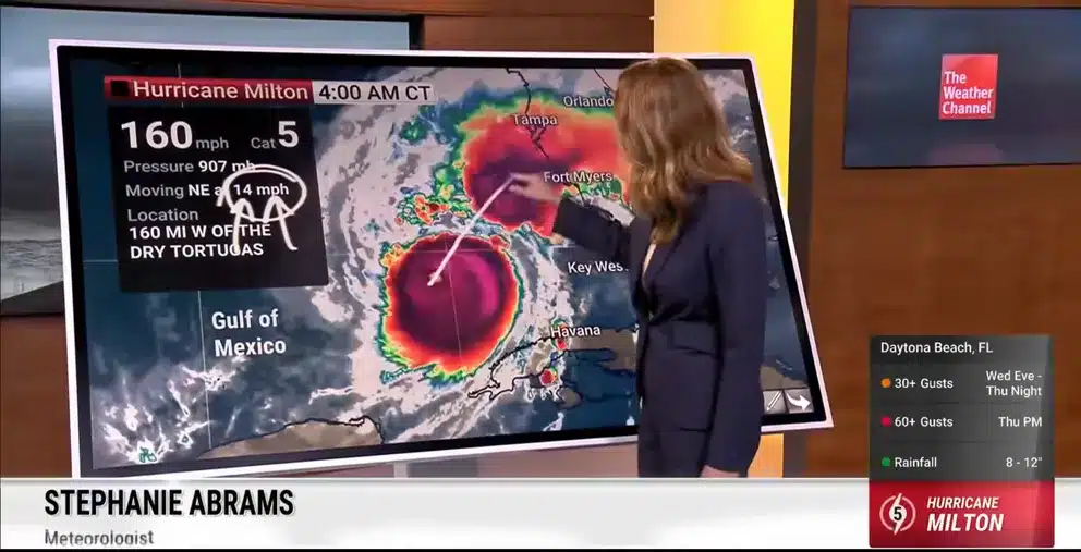
According to the National Hurricane Center, Milton is about 160 miles west of the Dry Tortugas and 300 miles southwest of Tampa, moving northeast at 14 mph. With maximum winds of 160 mph and a central pressure of 907 mb, it’s expected to reach Florida’s Gulf Coast as a major hurricane.


A Storm Surge Warning is now in effect for Florida’s west coast from Flamingo to Yankeetown, including Tampa Bay and parts of Georgia’s coast. A Hurricane Warning extends from Bonita Beach to the Suwannee River on Florida’s west coast and up the east coast to Ponte Vedra Beach. Georgia’s coastline is also under a Storm Surge Watch.
In a powerful simulation by The Weather Channel’s FloodFX technology, the potential storm surge from Milton is visualized, showing water levels rising above 9 feet along the west coast. This striking display highlights the deadly potential of storm surges, illustrating how destructive the storm could be.


The simulation has garnered strong reactions online, with users expressing their concern and fear. Comments like “That’s absolutely terrifying” and “This will be catastrophic” reflect the public’s anxiety as the state braces for Milton’s approach. The visualized storm surge has brought home the reality of the storm’s power, reminding Floridians to prepare for the worst as the gravity of the situation deepens.


